Est. 2026 · Vintage maps for modern explorers
Every map tells a story. What’s yours?
Original vintage maps of the places that made you. Your hometown, your family’s roots, the trip you still talk about.
Rather browse in person? See us at our next market
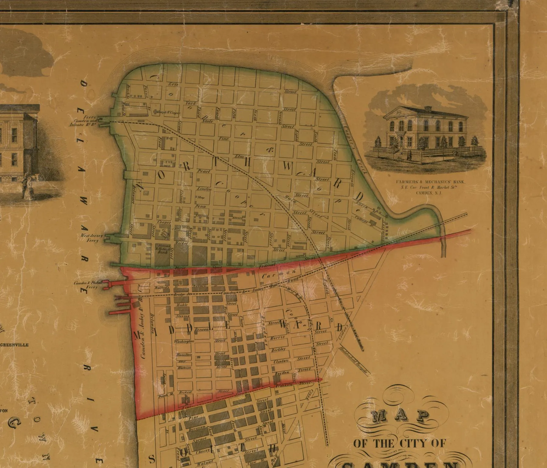
39°51′ N · 74°57′ W — Camden County, New Jersey, as surveyed in 1857
Our story
It started with one map.

Wanderlost Society began with a simple find: a vintage map of a place that meant something special to our daughter.
What started as a gift became a way to celebrate her journey and keep a piece of it close to home. It also sparked a real love for old maps and the memories they carry.
Now we help other people find that same connection through original vintage maps, whether it’s a hometown, family roots, or a favorite adventure.
JJ, founder
Step inside
Walk the 1857 survey.
The map behind our homepage is a hand-colored survey of Camden County, held today by the Library of Congress. Zoom from the whole county down to the family names written beside each farmhouse.
12,381 × 14,843 pixels · 1 map on 2 sheets · hand colored
What we carry
Real paper. Real history.
Originals
Vintage maps
Authentic period maps, not reprints. Each one dated and described so you know exactly what you’re holding.
Ready to hang
Framed maps
Matted and framed so the map arrives as a finished piece for the wall, the office, or a gift.
Small batch
Map creations
Map-inspired pieces for people who love the look of old cartography as much as the places on it.
Look closer
Every line, cut by hand.
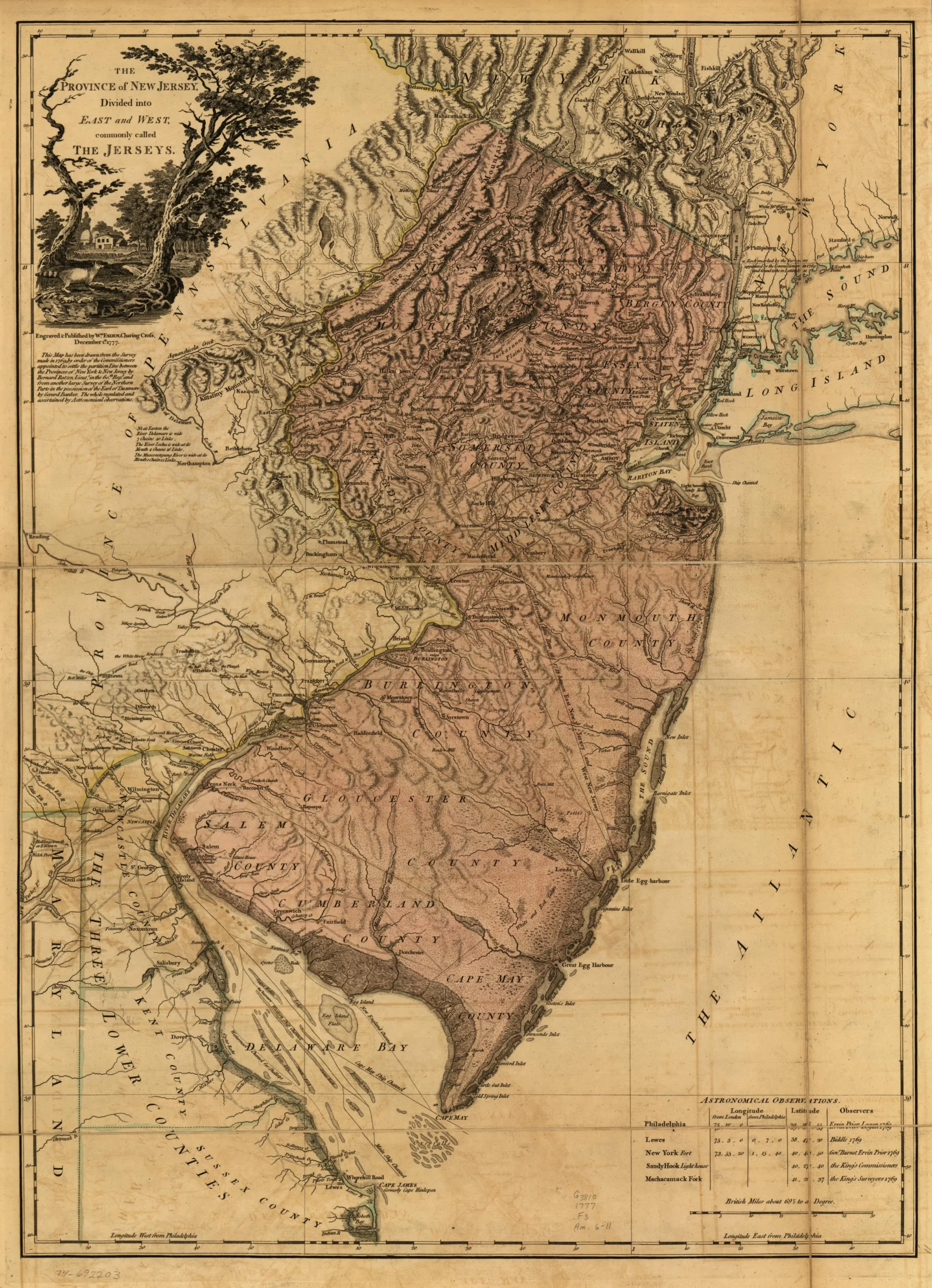
Before photography, a map like this was engraved line by line into a copper plate, then printed and often colored by hand. Up close, every tree, hill and village is somebody’s handiwork.
Drag the glass across the map
From the archive
Four centuries of finding our way.
The kind of paper we hunt for, from world maps to county surveys. Keep scrolling to pull out the drawer.
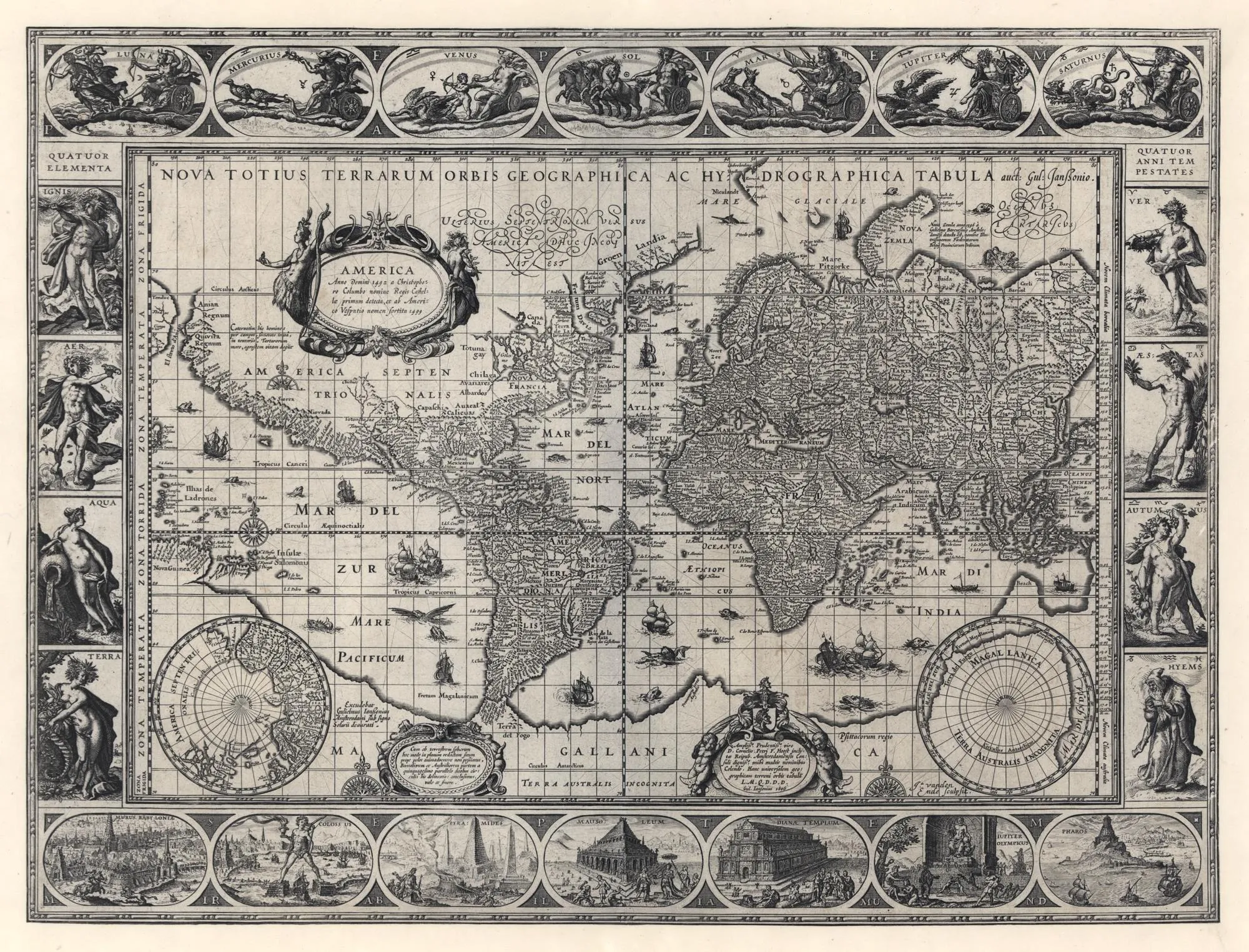
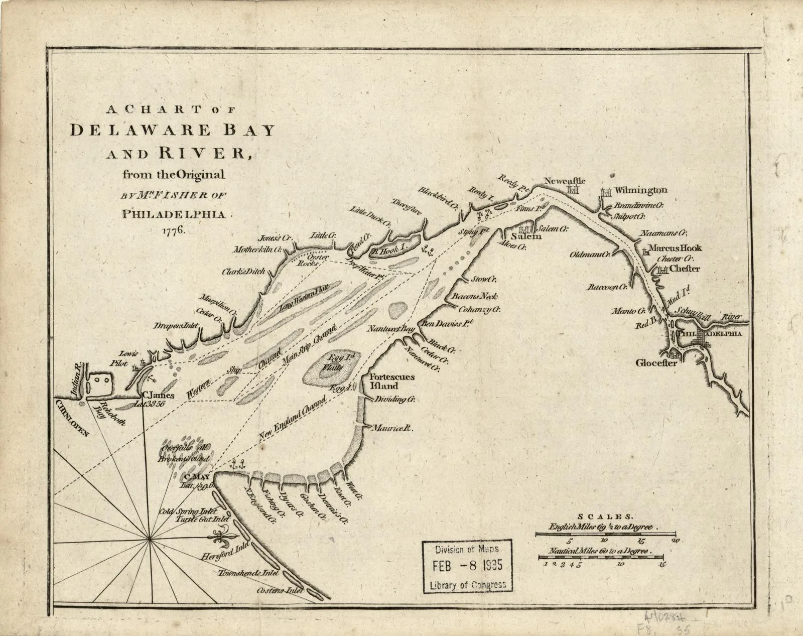
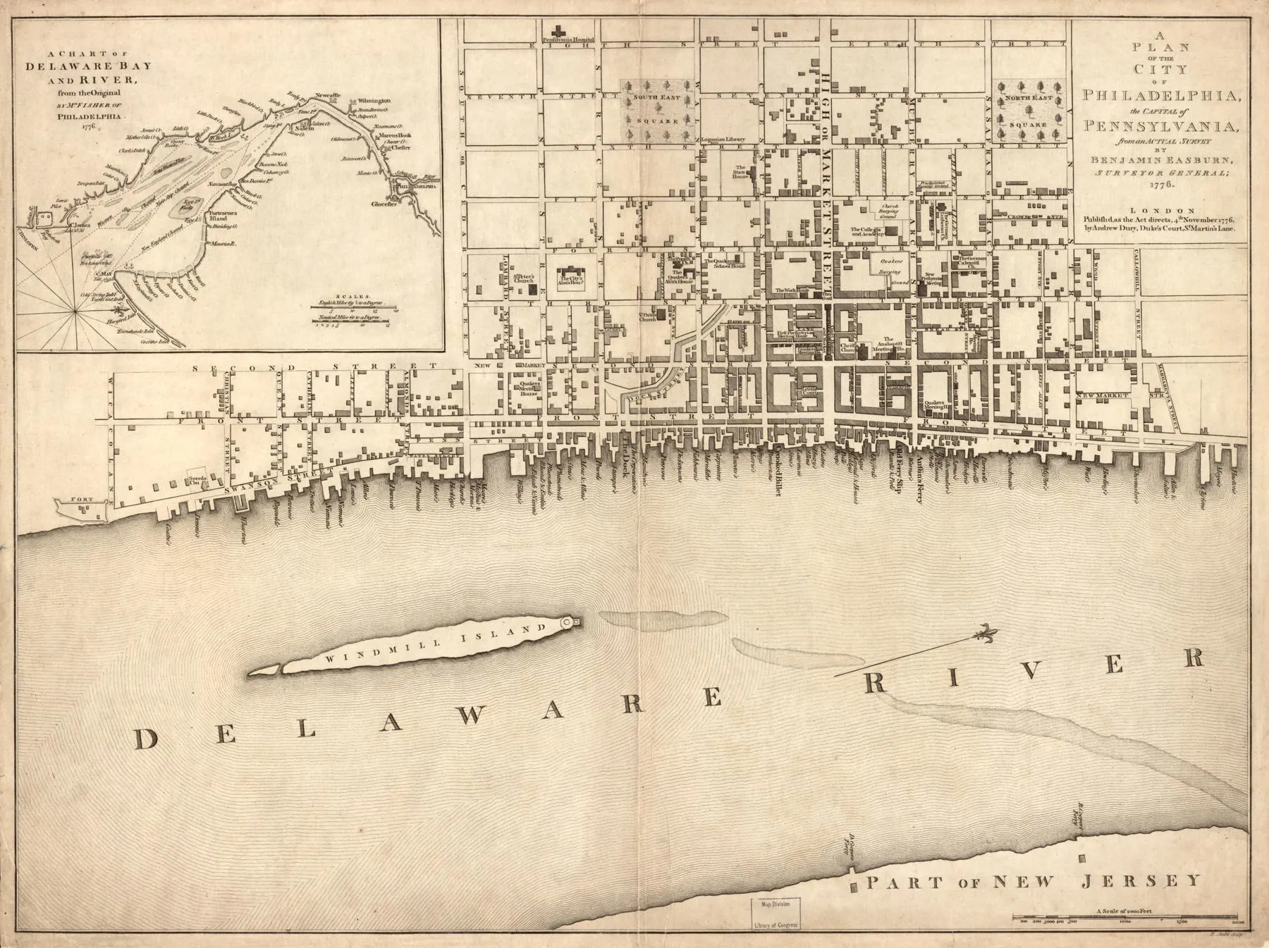
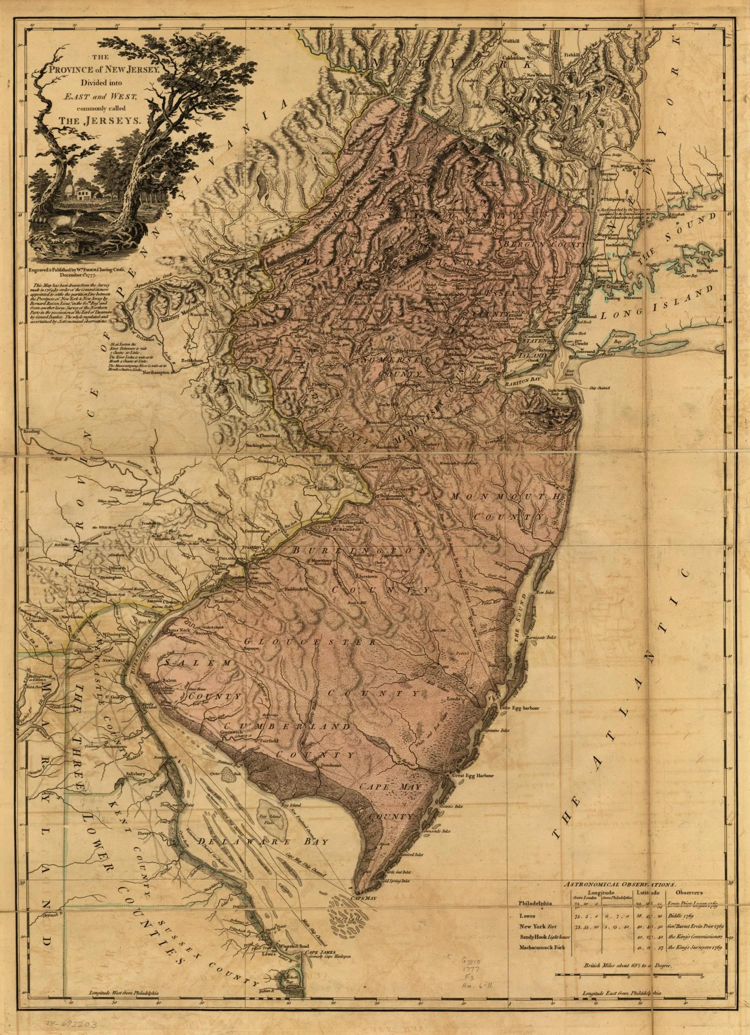
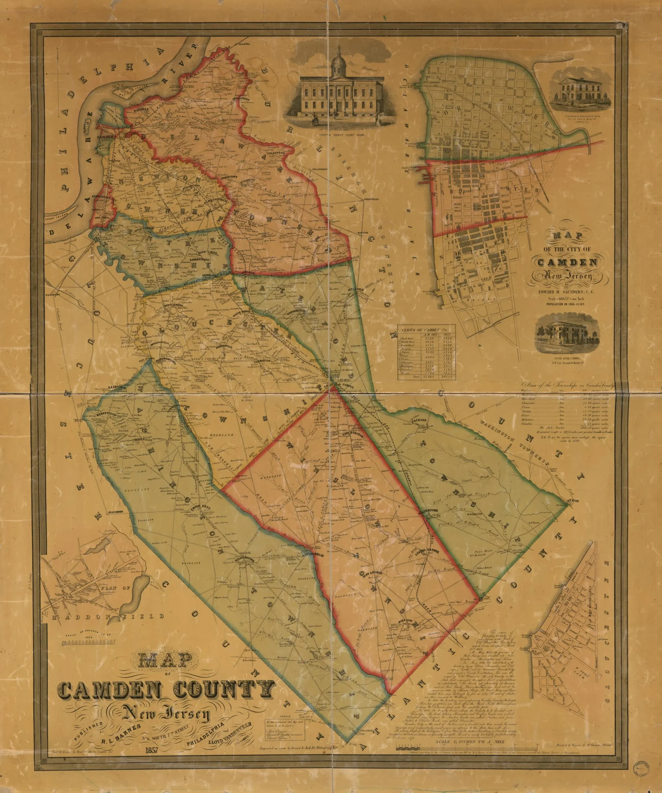
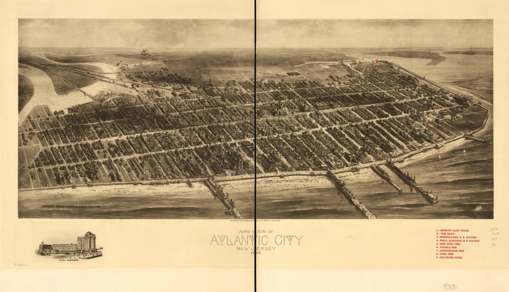
Historic maps courtesy of the Library of Congress, Geography and Map Division.
Custom search
Tell us the place. We’ll go find it.
Name your place
A hometown, a street you grew up on, where your grandparents came from, where you got engaged.
We hunt it down
We search for an original map of that place and era, and tell you what we find.
It comes home
Your map, ready to frame and hang, with the story of where it came from.
Next market
Woofstock 2026
Our first market! Come say hello, flip through the maps, and shop small. Supporting the Voorhees Animal Orphanage.
- When
- Saturday, November 14
11 AM – 4 PM - Where
- Voorhees Town Center
Voorhees, NJ
Start a search
Have a place in mind?
Send us the place, the rough era if you know it, and who it’s for. We’ll tell you what we can find.